
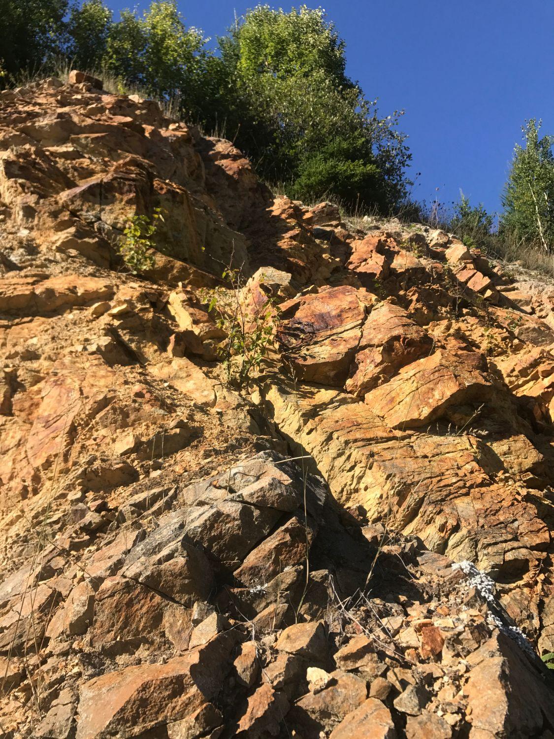
A gold and polymetallic property in Cape Breton's Boisdale Hills, with potential for gold, copper, nickel and palladium along a major structural zone. Surface exposure, historical drill results and a clear geophysical signature place the property at an advanced stage of exploration.
Frenchvale is a gold and polymetallic property in Cape Breton's Boisdale Hills, with potential for gold, copper, nickel and palladium hosted in slivers of gabbro and pyroxenite within George River Group metasedimentary rocks, along a major structural zone. Surface exposure, historical drill results and a clear geophysical signature place the property at an advanced stage of exploration.
Location
The Frenchvale Property is located in the Boisdale Hills of Cape Breton, Nova Scotia, about 17 km southwest of North Sydney, near Upper Leitches Creek. The property area takes in the Frenchvale, Rifle Range and Krumrine quarries. Access is by paved highway and maintained gravel roads: the Frenchvale Road west from the Balls Creek turn-off on Highway 125, or Highway 223 to the Upper Leitches Creek and Gouthro roads. Active aggregate quarries and readily available power provide established local infrastructure.
Geology
Frenchvale is a multi-commodity property with gold, copper, nickel and palladium targets hosted in a suite of mafic and ultramafic rocks. These rocks are variably sheared and fractured along a major regional structure that juxtaposes gneiss of the George River Group against ophiolite slivers. The sequence was later intruded by the Boisdale Hills Pluton, approximately 560 million years ago.
Gold. At the Rifle Range Quarry, gold occurs with bismuth, tungsten, copper and cobalt. Government geologists identified three styles of gold mineralization: in a white quartz vein, with pyrrhotite in sheared skarn, and as native gold in a mix of serpentine marble, granitic rock and quartz. Drill core from the quarry returned 9.72 g/t Au over 0.47 m, and the 1993 hole stopped about 12 m short of the quartz vein it was aimed at.
Base metals. Frenchvale hosts thick corundum-bearing skarn developed where granitic dykes intruded sheared ultramafics. At the Krumrine Quarry, six surface samples across a 35 m exposure averaged 0.42% copper and 0.22% nickel associated with disseminated and net-textured sulphides, with associated platinum and palladium.
Graphite. On the neighbouring Mt. Cameron property, the same marbles host flake graphite, typically 4 to 6% and reaching up to 12%. Geophysics in 2025 outlined large conductive bodies on Frenchvale consistent with graphite.
History
- 1990: Kelrock Limited evaluated the Frenchvale carbonate deposit for dolomite and limestone.
- 1992: A provincial mineral inventory survey discovered gold and bismuth at the Rifle Range Quarry. The first quartz vein sample returned 1.68 g/t Au (Demont, 1994).
- 1993: The Nova Scotia Department of Natural Resources mapped the Rifle Range and Krumrine quarries and drilled four holes. At Rifle Range, hole ULC 93-2 intersected sporadic gold-bismuth mineralization from 7.4 to 16.8 m, including 9.72 g/t Au and 2,000 ppm bismuth over 0.47 m. Surface samples returned up to 2.51 g/t Au from the quartz vein and 1.20 g/t Au from massive pyrrhotite in a shear zone. At Krumrine, hole ULC 93-4 intersected 0.45% copper and 0.39% nickel over 5.4 m from near surface (Demont, 1994).
- 1997-1999: Mt. Cameron Minerals resampled the Krumrine showing and confirmed copper-nickel values with associated platinum group elements.
- 2004: Mt. Cameron Minerals completed grid mapping, magnetic and VLF surveys, soil sampling and 11 diamond drill holes (about 1,300 m). Soil sampling outlined a gold anomaly of up to 90 ppb in the southeast of the grid. Drilling outlined graphitic marbles and thick corundum-bearing skarn, and one hole at Krumrine returned 215 ppb platinum and 435 ppb palladium over 1.9 m (Black, 2005).
- 2011: High-resolution LiDAR imagery was acquired over the property.
- 2017: 21Alpha Resources prospected the quarries, with a Frenchvale Quarry sample returning 81 ppb Au. Cape Breton University and Acadia University began structural research on the corundum showing, supported by a $10,000 provincial research grant. A heliborne magnetic and time-domain electromagnetic (TDEM) survey was also completed (Shurko, 2017).
- February 2025: A ground DC resistivity and induced polarization survey (6.85 line-km) outlined one, possibly two, large highly conductive bodies within the host marbles, with strong IP responses along their edges. The geophysical contractor interpreted these zones as likely to contain more than 5% graphite and recommended an initial 230 m drill hole into the anomaly.
Exploration Plans
Our geologists are currently finalizing exploration plans that will take place over the course of the fall and winter months. Frenchvale offers two strong lines of attack: the gold-bearing quartz vein at the Rifle Range Quarry, which the 1993 drilling did not reach, and the large 2025 graphite conductors, which are drill-ready.
Gallery
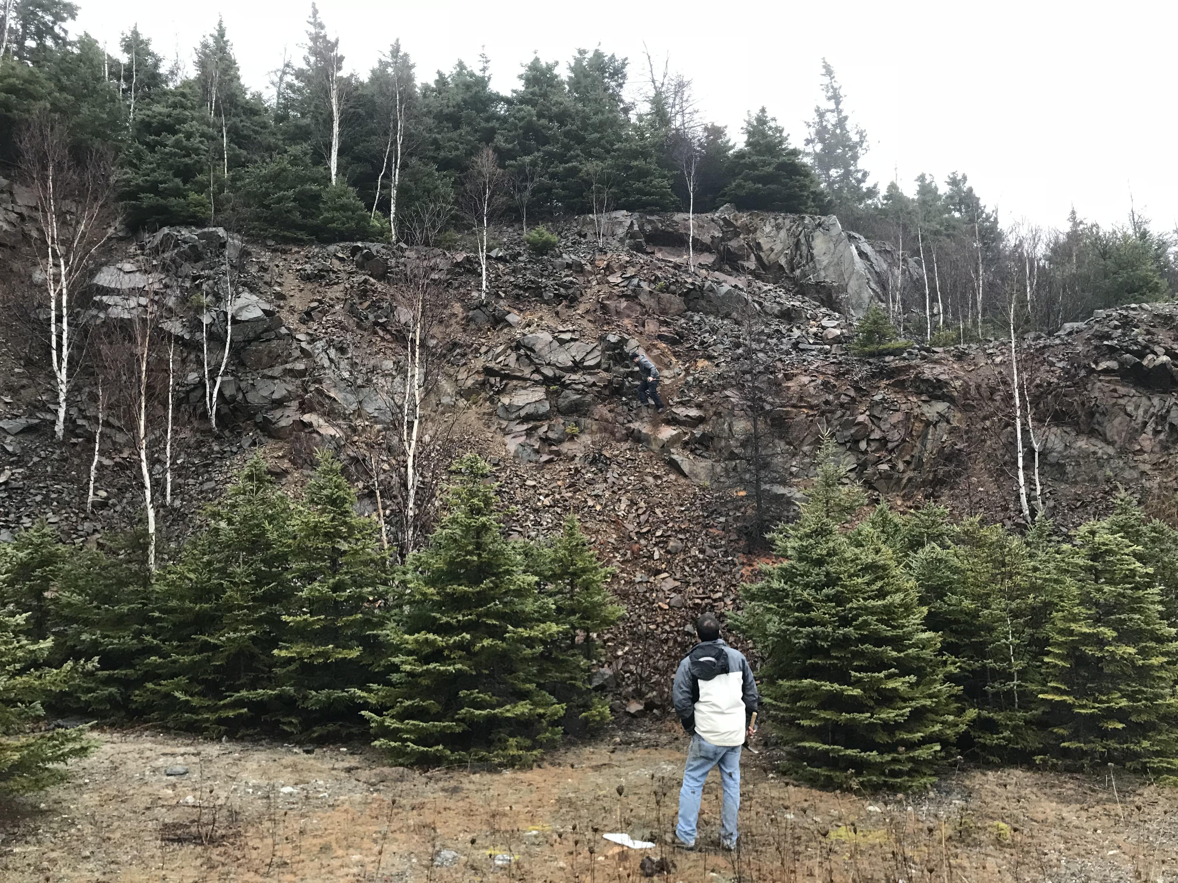
Rifle Range Quarry - 1993 drilling - 9.72 g/t Au and 2,000 ppm bismuth over 0.47 m 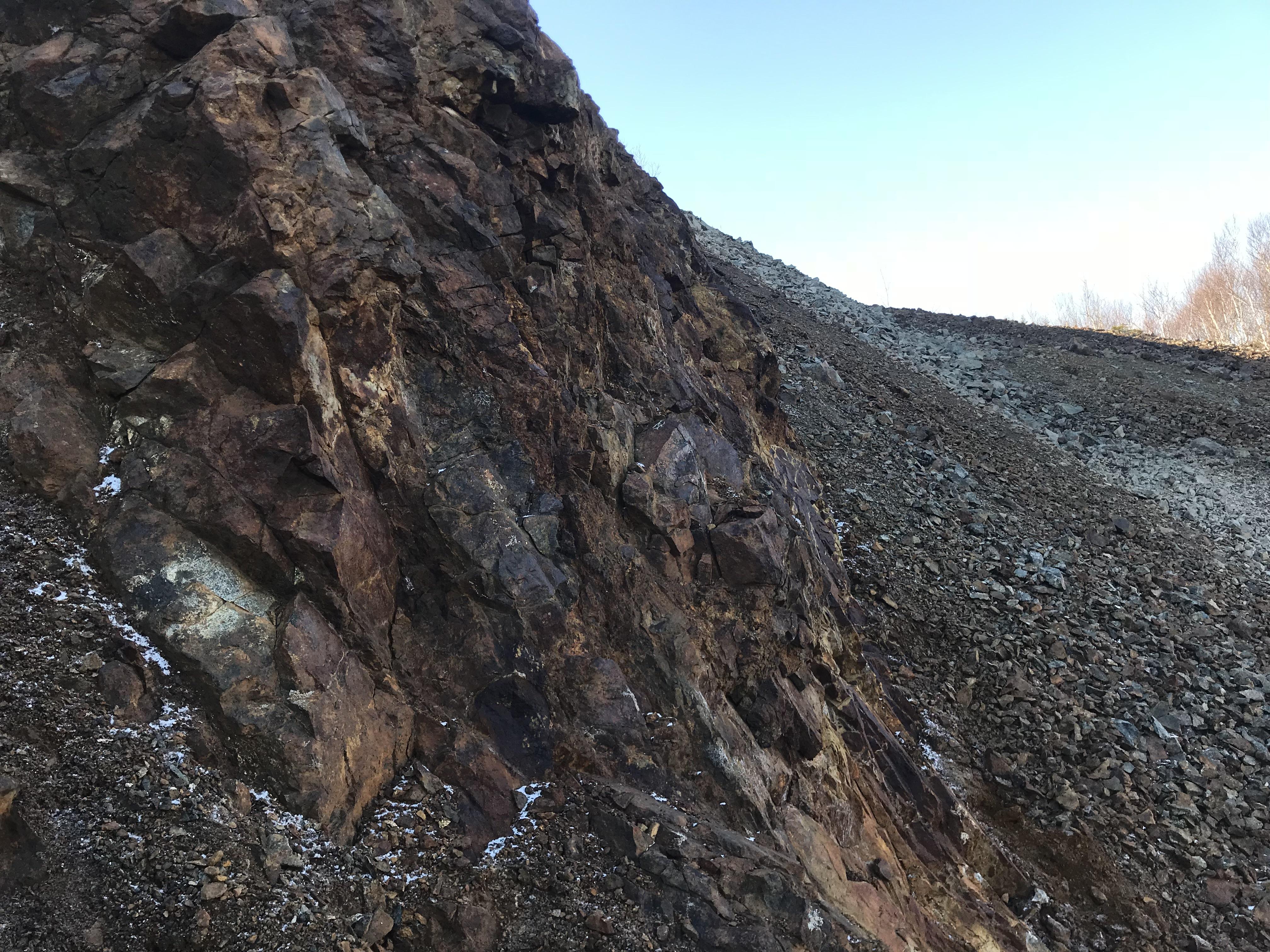
Krumrine Quarry, hole ULC 93-4 intersected 0.45% copper and 0.39% nickel over 5.4 m
Forward-Looking Statements
All statements on this website about anticipated future events or results constitute forward-looking statements, including, but not limited to, statements with respect to the Company's exploration plans, the potential of its mineral properties, financings and the use of proceeds, and the timing and results of future exploration programs. Forward-looking statements are often, but not always, identified by the use of words such as “seek”, “anticipate”, “believe”, “plan”, “estimate”, “expect” and “intend” and statements that an event or result “may”, “will”, “should”, “could” or “might” occur or be achieved and other similar expressions. Although Freedom Gold Corp. (“Freedom” or the “Company”) believes that the expectations reflected in such forward-looking statements are reasonable, undue reliance should not be placed on them since the Company can give no assurance that such expectations will prove to be correct. These statements involve known and unknown risks, uncertainties and other factors that may cause actual results or events to differ materially from those anticipated, including risks associated with the business of Freedom; risks related to exploration and potential development of the Company's mineral properties; business and economic conditions in the mining industry generally; fluctuations in commodity prices and currency exchange rates; uncertainties relating to interpretation of drill results and the geology, continuity and grade of mineral deposits; the need for cooperation of government agencies and First Nation groups and the issuance of required permits; the need to obtain additional financing and uncertainty as to its availability and terms; the possibility of delay in exploration or development programs; and other risk factors identified in Freedom's filings with Canadian securities regulators on SEDAR+. Forward-looking statements are based on estimates and opinions of management at the date the statements are made. Freedom does not undertake any obligation to update forward-looking statements except as required by applicable securities laws.
Historical exploration results referenced on this website have not been independently verified by the Company and should not be relied upon. Technical information on this website has been reviewed and approved by Mr. Martin Demers, P.Geo. (APEGNB L5980), a technical advisor to the Company and a Qualified Person as defined by National Instrument 43-101.
The Canadian Securities Exchange has not reviewed and does not accept responsibility for the adequacy or accuracy of the content of this website.